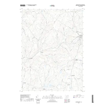
2019 Map of Montrose West
USGS Topo · Published 2019About this map
The Susquehanna County Courthouse serves as the focal point of Montrose, situated on a plateau where the rolling topography of Pennsylvania's northern tier funnels into several stream networks. This 2019 survey documents the borough's layout alongside smaller historic hamlets such as Fairdale, Snows Mill, and East Rush. The map provides significant genealogical value, recording the locations of the Holy Name Of Mary Cem, North Hill Cem, and Fair Hill Cem.
Find a feature on this map
81 named features on this map. Tap any name to fly to it.
Don’t see what you’re looking for? This feature index may not catch every label — zoom into the map to look around manually.
Map Details
Editions of this 2019 Montrose West Map
This is the sole edition of this map. No revisions or reprints were ever made.
Other maps of this area

1943 · Montrose
USGS Topo · 1:62,500

1943 · Le Raysville
USGS Topo · 1:62,500

1945 · Montrose
USGS Topo · 1:62,500

1945 · Le Raysville
USGS Topo · 1:62,500

1945 · Meshoppen
USGS Topo · 1:62,500

1945 · Auburn Center
USGS Topo · 1:24,000

1946 · Tunkhannock
USGS Topo · 1:62,500

1946 · Springville
USGS Topo · 1:24,000

1946 · Hop Bottom
USGS Topo · 1:24,000

1947 · Hopbottom
USGS Topo · 1:24,000