
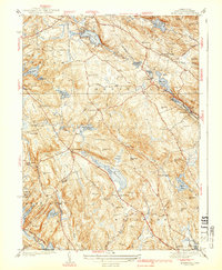
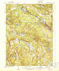
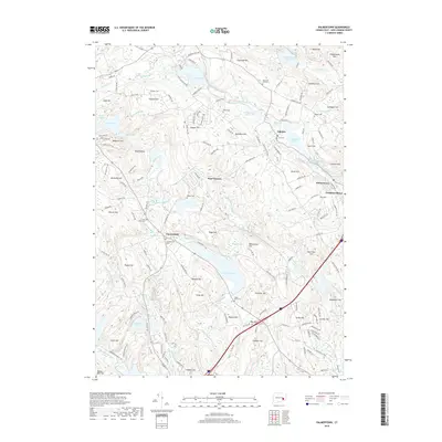
1939 Map of Montville
USGS Topo · Published 1950About this map
Oxoboxo Brook and its system of industrial reservoirs define the landscape of eastern New London County in this mid-century survey. The waterway powers a string of mill ponds including Rockland Pond and Red Mill Pond as it descends toward the Central Vermont railroad line and the village of Montville. This era reveals a region where traditional water-powered industry meets early aviation at the Salem Airport and rural community hubs like the Chapel Hill Sch and Lakes Pond Ch. Settlement patterns are closely tied to the hills and hollows, with family-named landmarks like Dolbeare Hill and Raymond Hill overlooking the many water bodies that sustained the local economy, from the large Lake Konomoc to the secluded Fairy Lake. Local transit is centered on historic corridors such as Butlertown Road and Pilgrim Road, connecting scattered hamlets like Chesterfield and Oakdale.
Find a feature on this map
87 named features on this map. Tap any name to fly to it.
Don’t see what you’re looking for? This feature index may not catch every label — zoom into the map to look around manually.
Map Details
Editions of this 1939 Montville Map
3 editions found
Historical Maps of Montville Through Time
61 maps found

1889 Stonington
New London County, CT

1893 Stonington
New London County, CT

1921 Stonington
New London County, CT

1935 Montville
New London County, CT
1939 Montville
New London County, CT

1941 Lyme
New London County, CT

1941 Uncasville
New London County, CT

1942 Block Island
New London County, CT

1943 Fitchville
New London County, CT

1943 Putnam
New London County, CT

1943 Voluntown
New London County, CT

1945 Colchester
New London County, CT

1951 Lyme
New London County, CT

1952 Hamburg
New London County, CT

1952 Uncasville
New London County, CT

1953 Colchester
New London County, CT

1953 Fitchville
New London County, CT

1953 Voluntown
New London County, CT

1958 Montville
New London County, CT

1958 Old Lyme
New London County, CT

1958 Uncasville
New London County, CT

1961 Hamburg
New London County, CT

1983 Fitchville
New London County, CT

1983 Montville
New London County, CT

1984 Uncasville
New London County, CT

2001 Voluntown
New London County, CT

2012 Colchester
New London County, CT

2012 Fitchville
New London County, CT

2012 Hamburg
New London County, CT

2012 Old Lyme
New London County, CT
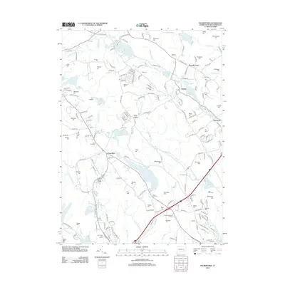
2012 Palmertown
New London County, CT

2012 Uncasville
New London County, CT

2012 Voluntown
New London County, CT

2015 Colchester
New London County, CT

2015 Fitchville
New London County, CT

2015 Hamburg
New London County, CT

2015 Old Lyme
New London County, CT
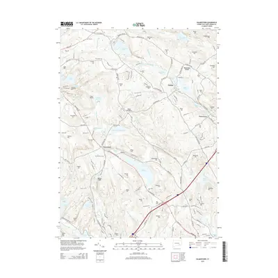
2015 Palmertown
New London County, CT

2015 Uncasville
New London County, CT

2015 Voluntown
New London County, CT

2018 Colchester
New London County, CT

2018 Fitchville
New London County, CT

2018 Hamburg
New London County, CT

2018 Old Lyme
New London County, CT
2018 Palmertown
New London County, CT

2018 Uncasville
New London County, CT

2018 Voluntown
New London County, CT

2021 Colchester
New London County, CT

2021 Fitchville
New London County, CT

2021 Hamburg
New London County, CT

2021 Old Lyme
New London County, CT

2021 Palmertown
New London County, CT

2021 Uncasville
New London County, CT

2021 Voluntown
New London County, CT

2024 Colchester
New London County, CT

2024 Fitchville
New London County, CT

2024 Hamburg
New London County, CT

2024 Old Lyme
New London County, CT

2024 Palmertown
New London County, CT

2024 Uncasville
New London County, CT

2024 Voluntown
New London County, CT