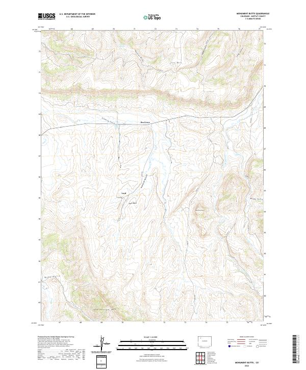
2022 Map of Monument Butte
USGS Topo · Published 2022About this map
Loyd and Iles Grove anchor this portion of the Axial Basin in Moffat County, where the high desert terrain transitions between prominent peaks and deep drainage systems. The landscape is defined by the significant elevations of Iles Mtn to the north and Thornburgh Mtn to the south, with the namesake Monument Butte standing as a central landmark.
Find a feature on this map
26 named features on this map. Tap any name to fly to it.
Don’t see what you’re looking for? This feature index may not catch every label — zoom into the map to look around manually.
Map Details
Editions of this 2022 Monument Butte Map
This is the sole edition of this map. No revisions or reprints were ever made.
Other maps of this area

1910 · Danforth Hills
USGS Topo · 1:125,000

1912 · Meeker
USGS Topo · 1:62,500

1912 · Axial
USGS Topo · 1:62,500

1914 · Meeker
USGS Topo · 1:62,500

1914 · Axial
USGS Topo · 1:62,500

1915 · Monument Butte
USGS Topo · 1:62,500

1954 · Craig
USGS Topo · 1:250,000

1957 · Craig
USGS Topo · 1:250,000

1958 · Craig
USGS Topo · 1:250,000

1960 · Craig
USGS Topo · 1:250,000