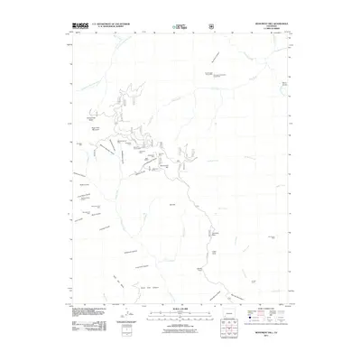
2011 Map of Monument Hill
USGS Topo · Published 2011About this map
Mineral Wonder Gulch and Fassbinder Gulch highlight a landscape defined by its mining history, where numerous lode claims and prospects dot the mountainous terrain of La Plata County. This 2011 survey illustrates the complex drainage network feeding into Hermosa Creek and Junction Creek, with high-altitude features like Olga Little Mountain and Monument Hill providing significant vertical relief. The map documents the enduring infrastructure of the San Juan region, from the Kennebec Mine in the west to the Last Chance Mine in the east. Scattered throughout the drainage basins are specific sites of interest to local historians, including Cemetery Flats near Cape Horn and the uniquely named At Last Ranch situated along the lower reaches of Falls Creek.
Find a feature on this map
58 named features on this map. Tap any name to fly to it.
Don’t see what you’re looking for? This feature index may not catch every label — zoom into the map to look around manually.
Map Details
Editions of this 2011 Monument Hill Map
This is the sole edition of this map. No revisions or reprints were ever made.
Other maps of this area

1895 · La Plata
USGS Topo · 1:62,500

1897 · La Plata
USGS Topo · 1:62,500

1897 · Rico
USGS Topo · 1:62,500

1898 · Durango
USGS Topo · 1:62,500

1898 · Engineer Mountain
USGS Topo · 1:62,500

1898 · Rico
USGS Topo · 1:62,500

1899 · La Plata
USGS Topo · 1:62,500

1899 · Rico
USGS Topo · 1:62,500

1900 · Engineer Mountain
USGS Topo · 1:62,500

1907 · Durango
USGS Topo · 1:62,500