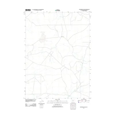
2012 Map of Monument Lake
USGS Topo · Published 2012About this map
Larsens Ranch sits at a junction of high-desert tracks, representing the sparse ranching infrastructure typical of this part of Sweetwater County. The landscape is defined by the critical management of water in an arid environment, seen in the path of the Fivemile Ditch which cuts across the southern portion of the quadrangle. This hydraulic engineering is paired with the Hadsell Reservoir, a vital catchment point for the region's limited runoff. The network of secondary roads and trails suggests a terrain primarily utilized for livestock grazing and resource access, with very little permanent settlement beyond the isolated ranching outposts established to oversee the vast open range.
Find a feature on this map
3 named features on this map. Tap any name to fly to it.
Don’t see what you’re looking for? This feature index may not catch every label — zoom into the map to look around manually.
Map Details
Editions of this 2012 Monument Lake Map
This is the sole edition of this map. No revisions or reprints were ever made.
Other maps of this area

1954 · Rawlins
USGS Topo · 1:250,000

1954 · Rock Springs
USGS Topo · 1:250,000

1958 · Rawlins
USGS Topo · 1:250,000

1958 · Rock Springs
USGS Topo · 1:250,000

1960 · Hansen Lake NE
USGS Topo · 1:24,000

1960 · Lost Creek Butte
USGS Topo · 1:62,500

1960 · Hansen Lake
USGS Topo · 1:24,000

1962 · Rawlins
USGS Topo · 1:250,000

1962 · Rock Springs
USGS Topo · 1:250,000

1966 · Wamsutter
USGS Topo · 1:24,000