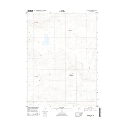
2015 Map of Monument Lake
USGS Topo · Published 2015About this map
Monument Lake and the surrounding high desert plains of Sweetwater County define this portion of the Great Divide Basin. The landscape is characterized by intermittent water features and early irrigation infrastructure, such as Fivemile Ditch and Hadsell Reservoir in the southern sections. This area sits along the spine of the continent, marked by the presence of the Continental Divide Rd winding through the eastern hills. The map highlights the intersection of Township 21 and 22 North, illustrating the vast, open range typical of the Wyoming interior. Smaller water bodies like Hanson Lk provide critical points of reference in a terrain dominated by shifting elevations and subtle drainage patterns that flow toward the internal basins rather than the oceans.
Find a feature on this map
10 named features on this map. Tap any name to fly to it.
Don’t see what you’re looking for? This feature index may not catch every label — zoom into the map to look around manually.
Map Details
Editions of this 2015 Monument Lake Map
This is the sole edition of this map. No revisions or reprints were ever made.
Other maps of this area

1954 · Rawlins
USGS Topo · 1:250,000

1954 · Rock Springs
USGS Topo · 1:250,000

1958 · Rawlins
USGS Topo · 1:250,000

1958 · Rock Springs
USGS Topo · 1:250,000

1960 · Hansen Lake NE
USGS Topo · 1:24,000

1960 · Lost Creek Butte
USGS Topo · 1:62,500

1960 · Hansen Lake
USGS Topo · 1:24,000

1962 · Rawlins
USGS Topo · 1:250,000

1962 · Rock Springs
USGS Topo · 1:250,000

1966 · Wamsutter
USGS Topo · 1:24,000