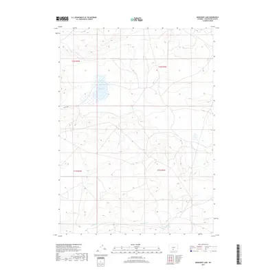
2017 Map of Monument Lake
USGS Topo · Published 2017About this map
Monument Lake serves as a central hydrological point in this high-desert portion of Sweetwater County, defined by its water management and public land access. The landscape is marked by irrigation and storage efforts, visible through the Fivemile Ditch and the Hadsell Reservoir in the southeastern portion of the quadrangle. These features reflect the 20th-century history of water engineering in the Wyoming basins, where remote reservoirs and man-made ditches were essential for managing seasonal flows across the arid plains. Access throughout the territory is primarily maintained via the Bureau of Land Management network, notably Blm Rd 3206, which traverses the western section of the sheet. The grid system of the Public Land Survey System, including t22n r94w and t21n r93w, underscores the organized division of this expansive rangeland.
Find a feature on this map
8 named features on this map. Tap any name to fly to it.
Don’t see what you’re looking for? This feature index may not catch every label — zoom into the map to look around manually.
Map Details
Editions of this 2017 Monument Lake Map
This is the sole edition of this map. No revisions or reprints were ever made.
Other maps of this area

1954 · Rawlins
USGS Topo · 1:250,000

1954 · Rock Springs
USGS Topo · 1:250,000

1958 · Rawlins
USGS Topo · 1:250,000

1958 · Rock Springs
USGS Topo · 1:250,000

1960 · Hansen Lake NE
USGS Topo · 1:24,000

1960 · Lost Creek Butte
USGS Topo · 1:62,500

1960 · Hansen Lake
USGS Topo · 1:24,000

1962 · Rawlins
USGS Topo · 1:250,000

1962 · Rock Springs
USGS Topo · 1:250,000

1966 · Wamsutter
USGS Topo · 1:24,000