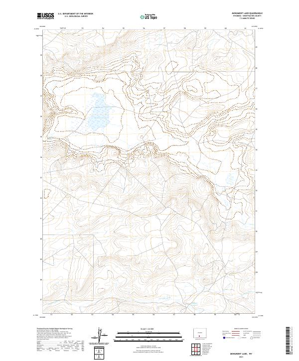
2021 Map of Monument Lake
USGS Topo · Published 2021About this map
Monument Lake and the surrounding high desert terrain define this corner of Sweetwater County, where the arid landscape is shaped by the management of scarce water resources. The presence of Fivemile Ditch and the Hadsell Reservoir in the southern portion of the sheet indicates an area focused on hydraulic engineering to support ranching or local resource needs. Access to this high-elevation plateau is provided by rugged corridors like Blm Rd 3206, which cuts through the township lines of t22n r94w and t21n r93w. The map preserves the specific drainage patterns and seasonal water bodies that dictate the geography of this Wyoming basin.
Find a feature on this map
8 named features on this map. Tap any name to fly to it.
Don’t see what you’re looking for? This feature index may not catch every label — zoom into the map to look around manually.
Map Details
Editions of this 2021 Monument Lake Map
This is the sole edition of this map. No revisions or reprints were ever made.
Other maps of this area

1954 · Rawlins
USGS Topo · 1:250,000

1954 · Rock Springs
USGS Topo · 1:250,000

1958 · Rawlins
USGS Topo · 1:250,000

1958 · Rock Springs
USGS Topo · 1:250,000

1960 · Hansen Lake NE
USGS Topo · 1:24,000

1960 · Lost Creek Butte
USGS Topo · 1:62,500

1960 · Hansen Lake
USGS Topo · 1:24,000

1962 · Rawlins
USGS Topo · 1:250,000

1962 · Rock Springs
USGS Topo · 1:250,000

1966 · Wamsutter
USGS Topo · 1:24,000