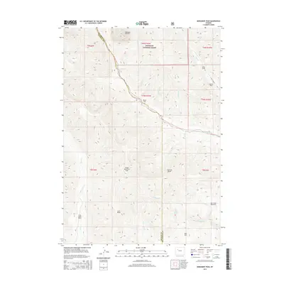
2015 Map of Monument Peak
USGS Topo · Published 2015About this map
Muddy Monument Peak rises as a central landmark within this high-altitude landscape where the Absaroka Range meets the Owl Creek Mountains. The boundary between Hot Springs and Fremont counties cuts through a series of steep drainages including Cabin Creek and Bear Creek. The rugged character of the area is defined by sharp geological features like the Washakie Needles and Devils Hole, while broad high-ground features such as Trail Ridge and Bald Mountain offer vantage points over the Crow Creek Basin. Much of the northern terrain falls within the Shoshone National Forest, preserving a wilderness state largely untouched by major development, with only the S Owl Creek Rd providing limited access to the eastern canyons. Water sources like Little Dry Muddy Spring provide critical points of interest for those studying the hydrology of these arid mountain gaps.
Find a feature on this map
37 named features on this map. Tap any name to fly to it.
Don’t see what you’re looking for? This feature index may not catch every label — zoom into the map to look around manually.
Map Details
Editions of this 2015 Monument Peak Map
This is the sole edition of this map. No revisions or reprints were ever made.
Other maps of this area

1904 · Kirwin
USGS Topo · 1:125,000

1906 · Kirwin
USGS Topo · 1:125,000

1955 · Thermopolis
USGS Topo · 1:250,000

1958 · Thermopolis
USGS Topo · 1:250,000

1962 · Thermopolis
USGS Topo · 1:250,000

1967 · Willow Creek
USGS Topo · 1:24,000
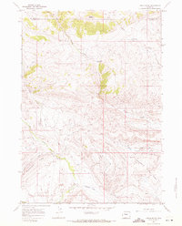
1967 · Circle Ridge
USGS Topo · 1:24,000

1967 · Monument Peak
USGS Topo · 1:24,000
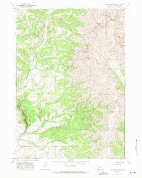
1967 · East Fork Basin
USGS Topo · 1:24,000
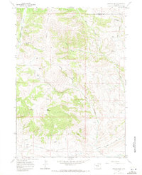
1967 · Johnson Draw
USGS Topo · 1:24,000