
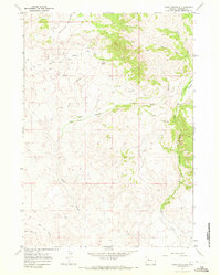
1967 Map of Monument Peak
USGS Topo · Published 1971About this map
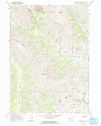
Washakie Needles and the sharp spire of the Needle dominate the northern terrain of this high-elevation landscape within the Shoshone National Forest. The geography is defined by a significant cultural and political line, the Wind River Indian Reservation Boundary, which cuts diagonally across the drainage of the South Fork Owl Creek. This divide separates the reservation lands from the adjacent forest and county lands, illustrating the 20th-century intersection of indigenous territory and federal forest management.
Find a feature on this map
30 named features on this map. Tap any name to fly to it.
Don’t see what you’re looking for? This feature index may not catch every label — zoom into the map to look around manually.
Map Details
Editions of this 1967 Monument Peak Map
2 editions found
Other maps of this area

1904 · Kirwin
USGS Topo · 1:125,000

1906 · Kirwin
USGS Topo · 1:125,000

1955 · Thermopolis
USGS Topo · 1:250,000

1958 · Thermopolis
USGS Topo · 1:250,000

1962 · Thermopolis
USGS Topo · 1:250,000

1967 · Willow Creek
USGS Topo · 1:24,000
1967 · Circle Ridge
USGS Topo · 1:24,000
1967 · East Fork Basin
USGS Topo · 1:24,000
1967 · Johnson Draw
USGS Topo · 1:24,000
1967 · Crow Mountain
USGS Topo · 1:24,000