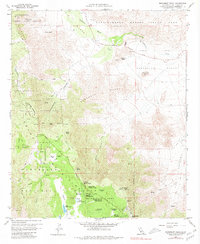
1959 Map of Monument Peak
USGS Topo · Published 1980About this map
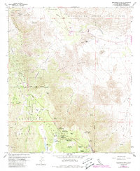
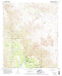
The Laguna Mountains divide this landscape between the high timber of the Cleveland National Forest and the arid expanse of Anza-Borrego Desert State Park. Near the settlement of Mount Laguna, the map reveals a concentrated recreational and community hub featuring the Al Bahr Shrine Camp, Sierra Club Guymon Lodge, and several campgrounds including Horse Heaven Group Camp. This high-altitude region, which includes portions of the Laguna Indian Reservation, supports seasonal water bodies like Big Laguna Lake and Little Laguna Lake.
Find a feature on this map
50 named features on this map. Tap any name to fly to it.
Don’t see what you’re looking for? This feature index may not catch every label — zoom into the map to look around manually.
Map Details
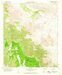
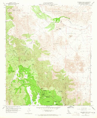
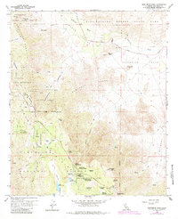
Editions of this 1959 Monument Peak Map
6 editions found
Other maps of this area

1903 · Cuyamaca
USGS Topo · 1:125,000

1903 · Ramona
USGS Topo · 1:125,000

1904 · Southern California Sheet No. 2
USGS Topo · 1:250,000

1931 · Vallecito
USGS Topo · 1:125,000

1931 · Carrizo
USGS Topo · 1:125,000

1939 · Santa Ysabel
USGS Topo · 1:62,500

1939 · Borrego
USGS Topo · 1:62,500

1942 · Borego
USGS Topo · 1:62,500

1942 · Cuyapaipe
USGS Topo · 1:62,500

1942 · Cuyamaca Peak
USGS Topo · 1:62,500