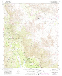
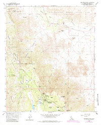
1959 Map of Monument Peak
USGS Topo · Published 1988About this map
The Laguna Mountains dominate this 1950s era survey, where the arid floor of the Anza-Borrego Desert State Park meets the pine-shaded elevations of the Cleveland National Forest. This high-desert landscape is defined by its historic transit corridors, most notably the Old Overland Stage Route and the Oriflamme Canyon Jeep Trail. These routes reflect the challenging topography of the Sawtooth Range and the Oriflamme Mountain region, where water sources like Taylor Spring and Pepper Tree Spring were essential for travelers and early settlers.
Find a feature on this map
62 named features on this map. Tap any name to fly to it.
Don’t see what you’re looking for? This feature index may not catch every label — zoom into the map to look around manually.
Map Details
Editions of this 1959 Monument Peak Map
6 editions found
Other maps of this area

1903 · Cuyamaca
USGS Topo · 1:125,000

1903 · Ramona
USGS Topo · 1:125,000

1904 · Southern California Sheet No. 2
USGS Topo · 1:250,000

1931 · Vallecito
USGS Topo · 1:125,000

1931 · Carrizo
USGS Topo · 1:125,000

1939 · Santa Ysabel
USGS Topo · 1:62,500

1939 · Borrego
USGS Topo · 1:62,500

1942 · Borego
USGS Topo · 1:62,500

1942 · Cuyapaipe
USGS Topo · 1:62,500

1942 · Cuyamaca Peak
USGS Topo · 1:62,500