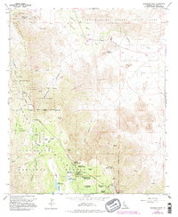
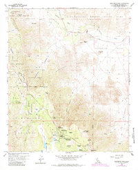
1959 Map of Monument Peak
USGS Topo · Published 1995About this map
The Overland Stage Route traces a historical transport artery through Mason Valley, marking a transition between the arid lowlands of Anza-Borrego Desert State Park and the high elevations of the Laguna Mountains. The landscape reflects a mix of mid-century recreation and older resource extraction, with the Noble Mine and Sundown Mine appearing alongside established retreats like the Al Bahr Shrine Camp and the Sierra Club Guymon Lodge.
Find a feature on this map
61 named features on this map. Tap any name to fly to it.
Don’t see what you’re looking for? This feature index may not catch every label — zoom into the map to look around manually.
Map Details
Editions of this 1959 Monument Peak Map
6 editions found
Other maps of this area

1903 · Cuyamaca
USGS Topo · 1:125,000

1903 · Ramona
USGS Topo · 1:125,000

1904 · Southern California Sheet No. 2
USGS Topo · 1:250,000

1931 · Vallecito
USGS Topo · 1:125,000

1931 · Carrizo
USGS Topo · 1:125,000

1939 · Santa Ysabel
USGS Topo · 1:62,500

1939 · Borrego
USGS Topo · 1:62,500

1942 · Borego
USGS Topo · 1:62,500

1942 · Cuyapaipe
USGS Topo · 1:62,500

1942 · Cuyamaca Peak
USGS Topo · 1:62,500