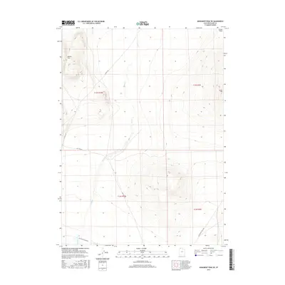
2017 Map of Monument Peak SW
USGS Topo · Published 2017About this map
The Wildcat Hills rise sharply above the floor of the Curlew Valley in this remote section of Box Elder County. This arid landscape is defined by its drainage patterns and historical transit corridors, most notably the path of the Old Railroad Grade Rd running across the southern portion of the sheet. The presence of Deep Cr provides a primary hydrological feature for the region, cutting through the valley and flanked by the namesake Deep Creek Rd. The terrain is sparse, with prominent elevations such as Cedar Hill standing as landmarks against the wide valley floor. The map highlights the intersecting systems of modern access, such as Locomotive Springs Rd, and the physical remnants of the rail era that once linked this high desert territory.
Find a feature on this map
12 named features on this map. Tap any name to fly to it.
Don’t see what you’re looking for? This feature index may not catch every label — zoom into the map to look around manually.
Map Details
Editions of this 2017 Monument Peak SW Map
This is the sole edition of this map. No revisions or reprints were ever made.
Other maps of this area

1954 · Brigham City
USGS Topo · 1:250,000

1958 · Brigham City
USGS Topo · 1:250,000

1959 · Kelton Pass
USGS Topo · 1:62,500

1962 · Brigham City
USGS Topo · 1:250,000

1968 · Monument Point
USGS Topo · 1:24,000

1968 · Monument Peak NW
USGS Topo · 1:24,000

1968 · Monument Peak SW
USGS Topo · 1:24,000

1968 · Monument Peak
USGS Topo · 1:24,000

1968 · Monument Peak NE
USGS Topo · 1:24,000

1969 · Locomotive Springs
USGS Topo · 1:24,000