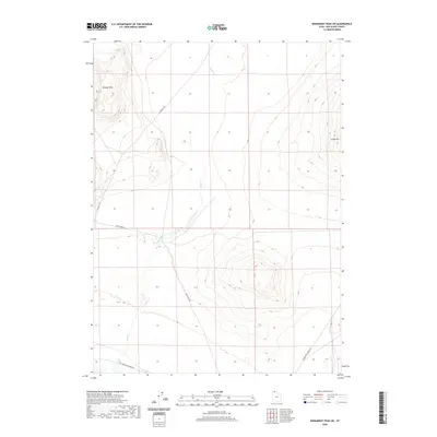
2020 Map of Monument Peak SW
USGS Topo · Published 2020About this map
Wildcat Hills and the prominent Cedar Hill anchor this section of Box Elder County, where the high desert landscape is defined by its isolation and historical transit routes. The geography is marked by the intermittent flow of Deep Cr, which cuts through the basin floor between these upland features. A significant historical footprint is visible in the southwest, where the Old Railroad Grade Rd follows a long-established path across the terrain, likely tracing the legacy of early western rail expansion in northern Utah. Modern access remains focused on utility and ranching, evidenced by the network of unpaved thoroughfares including Deep Creek Rd and Locomotive Springs Rd. This survey provides a precise view of the drainage patterns and relief that have dictated the placement of these remote corridors through the Great Basin.
Find a feature on this map
7 named features on this map. Tap any name to fly to it.
Don’t see what you’re looking for? This feature index may not catch every label — zoom into the map to look around manually.
Map Details
Editions of this 2020 Monument Peak SW Map
This is the sole edition of this map. No revisions or reprints were ever made.
Other maps of this area

1954 · Brigham City
USGS Topo · 1:250,000

1958 · Brigham City
USGS Topo · 1:250,000

1959 · Kelton Pass
USGS Topo · 1:62,500

1962 · Brigham City
USGS Topo · 1:250,000

1968 · Monument Point
USGS Topo · 1:24,000

1968 · Monument Peak NW
USGS Topo · 1:24,000

1968 · Monument Peak SW
USGS Topo · 1:24,000

1968 · Monument Peak
USGS Topo · 1:24,000

1968 · Monument Peak NE
USGS Topo · 1:24,000

1969 · Locomotive Springs
USGS Topo · 1:24,000