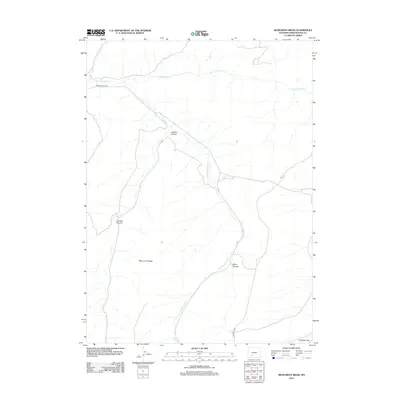
2012 Map of Monument Ridge
USGS Topo · Published 2012About this map
Monument Ridge stands as a central landform in this high-desert portion of Sweetwater County, where the topography is defined by a series of significant drainages and dry canyons. The landscape is carved by the winding paths of Jack Morrow Cr, Rock Cabin Cr, and Jack Parnell Cr, which illustrate the complex watershed patterns of this arid region. Near the southern edge of the survey, Freighter Gap provides a notable passage through the terrain, historically significant for transport through the area. Human presence is marked by primitive routes such as Freighter Gap Rd and BLM Road 4102, which link isolated landmarks like Minnie Spring. The map documents numerous geological features, including LaFonte Canyon, Johnson Canyon, and Blind Canyon, providing a detailed look at the erosional character of the Wyoming basin at the start of the 2010s.
Find a feature on this map
11 named features on this map. Tap any name to fly to it.
Don’t see what you’re looking for? This feature index may not catch every label — zoom into the map to look around manually.
Map Details
Editions of this 2012 Monument Ridge Map
This is the sole edition of this map. No revisions or reprints were ever made.
Other maps of this area

1954 · Rock Springs
USGS Topo · 1:250,000

1955 · Lander
USGS Topo · 1:250,000

1958 · Lander
USGS Topo · 1:250,000

1958 · Rock Springs
USGS Topo · 1:250,000

1958 · Essex Mountain
USGS Topo · 1:62,500

1958 · Boars Tusk
USGS Topo · 1:62,500

1958 · Freighter Gap
USGS Topo · 1:62,500

1958 · Superior
USGS Topo · 1:62,500

1961 · Lander
USGS Topo · 1:250,000

1962 · Rock Springs
USGS Topo · 1:250,000