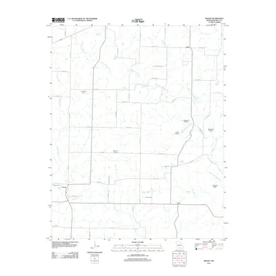
2012 Map of Moody
USGS Topo · Published 2012About this map
West Fork Spring Creek and its many tributaries carve through this section of Howell County, shaping a landscape defined by natural springs and narrow hollows. In the early 21st century, the small settlements of Moody and Lebo anchored this rural Missouri community, connected by a network of county roads that replaced earlier pioneer trails. The presence of several family and community burial grounds, such as Mount Zion Cemetery, McElmerry Cemetery, and Davis Cemetery, provides essential markers for those researching the local lineage of this Ozark borderland.
Find a feature on this map
51 named features on this map. Tap any name to fly to it.
Don’t see what you’re looking for? This feature index may not catch every label — zoom into the map to look around manually.
Map Details
Editions of this 2012 Moody Map
This is the sole edition of this map. No revisions or reprints were ever made.
Other maps of this area

1890 · Mountain Home
USGS Topo · 1:125,000

1891 · Mountain Home
USGS Topo · 1:125,000

1894 · Mountain Home
USGS Topo · 1:125,000

1938 · West Plains
USGS Topo · 1:24,000

1940 · West Plains
USGS Topo · 1:24,000

1944 · West Plains
USGS Topo · 1:62,500

1944 · Cureall
USGS Topo · 1:62,500

1945 · Harrison
USGS Topo · 1:250,000

1946 · West Plains
USGS Topo · 1:62,500

1946 · Cureall
USGS Topo · 1:62,500