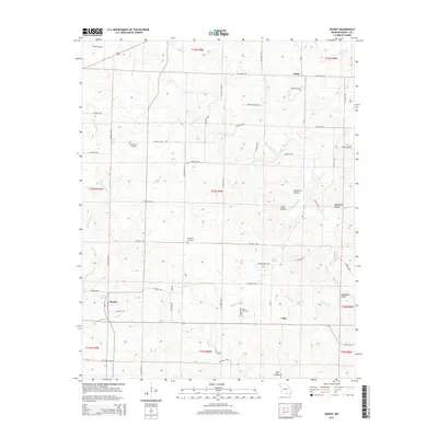
2015 Map of Moody
USGS Topo · Published 2015About this map
The high Ozark plateau of Howell County is defined here by the intricate drainage systems of the S Fork Spring River and Bennetts River. Small rural hubs like Moody and Lebo anchor the southern portion of the sheet, while the northern terrain is marked by family-named hollows and springs that supported upland farming and timbering. The landscape is deeply dissected by features such as Newberry Hollow and Mansfield Hollow, creating a complex network of ridges including Turkeypen Ridge. For family historians, several remote burial sites are documented, including the Mount Zion Cemetery, McElmerry Cemetery, and Davis Cemetery. Numerous natural water sources are mapped throughout the hills, from Lapp Spring to Moody Spring, illustrating the importance of reliable water in this karst topography.
Find a feature on this map
66 named features on this map. Tap any name to fly to it.
Don’t see what you’re looking for? This feature index may not catch every label — zoom into the map to look around manually.
Map Details
Editions of this 2015 Moody Map
This is the sole edition of this map. No revisions or reprints were ever made.
Other maps of this area

1890 · Mountain Home
USGS Topo · 1:125,000

1891 · Mountain Home
USGS Topo · 1:125,000

1894 · Mountain Home
USGS Topo · 1:125,000

1938 · West Plains
USGS Topo · 1:24,000

1940 · West Plains
USGS Topo · 1:24,000

1944 · West Plains
USGS Topo · 1:62,500

1944 · Cureall
USGS Topo · 1:62,500

1945 · Harrison
USGS Topo · 1:250,000

1946 · West Plains
USGS Topo · 1:62,500

1946 · Cureall
USGS Topo · 1:62,500