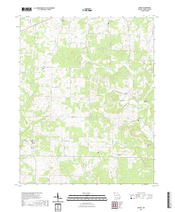
2021 Map of Moody
USGS Topo · Published 2021About this map
Moody and the small settlement of Lebo anchor this portion of southern Howell County near the Arkansas border. The landscape is defined by the winding course of the W Fork Spring Cr and its numerous tributaries, including Elkhorn Br and Ray Br. For those researching local families, the map is particularly rich in cemetery locations, documenting Southfork Cem, McElmurry Cem, and Stuart Union Cem. The terrain is deeply dissected by local drainages such as Newberry Hollow and Cabin Hollow, while high points like Turkeypen Ridge overlook the valley floors. Water sources are prevalent throughout the area, evidenced by named features such as Lapp Spring, Aunt Cindy Spring, and Gladden Spring, which historically supported the rural homesteads and agricultural operations scattered across this Ozark plateau region.
Find a feature on this map
63 named features on this map. Tap any name to fly to it.
Don’t see what you’re looking for? This feature index may not catch every label — zoom into the map to look around manually.
Map Details
Editions of this 2021 Moody Map
This is the sole edition of this map. No revisions or reprints were ever made.
Other maps of this area

1890 · Mountain Home
USGS Topo · 1:125,000

1891 · Mountain Home
USGS Topo · 1:125,000

1894 · Mountain Home
USGS Topo · 1:125,000

1938 · West Plains
USGS Topo · 1:24,000

1940 · West Plains
USGS Topo · 1:24,000

1944 · West Plains
USGS Topo · 1:62,500

1944 · Cureall
USGS Topo · 1:62,500

1945 · Harrison
USGS Topo · 1:250,000

1946 · West Plains
USGS Topo · 1:62,500

1946 · Cureall
USGS Topo · 1:62,500