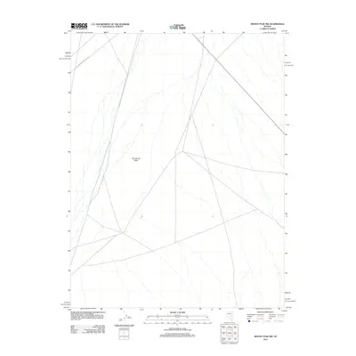
2012 Map of Moody Peak NW
USGS Topo · Published 2012About this map
Little Smoky Valley dominates this high-desert landscape in Nye County, showing a vast drainage network of seasonal washes and ephemeral streams. The map traces a critical administrative boundary along the Fish Crk Ranch-Nye Cty Line, marking the transition between local ranching interests and county jurisdiction. Settlement here is sparse, defined primarily by the passage of Route 379 as it cuts across the arid basin. This 2012 survey illustrates the classic Great Basin geographic pattern of wide alluvial valleys bordered by rising terrain, where the infrastructure is limited to primitive roads and section lines typical of the Nevada interior.
Find a feature on this map
3 named features on this map. Tap any name to fly to it.
Don’t see what you’re looking for? This feature index may not catch every label — zoom into the map to look around manually.
Map Details
Editions of this 2012 Moody Peak NW Map
This is the sole edition of this map. No revisions or reprints were ever made.
Other maps of this area

1926 · Roberts Mountains
USGS Topo · 1:250,000

1929 · Roberts Mountains
USGS Topo · 1:250,000

1953 · Pinto Summit
USGS Topo · 1:62,500

1955 · Millett
USGS Topo · 1:250,000

1956 · Bellevue Peak
USGS Topo · 1:62,500

1956 · Cockalorum Wash
USGS Topo · 1:62,500

1956 · Ely
USGS Topo · 1:250,000

1959 · Ely
USGS Topo · 1:250,000

1959 · Millett
USGS Topo · 1:250,000

1963 · Ely
USGS Topo · 1:250,000