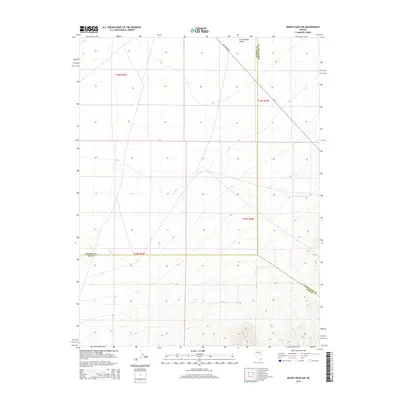
2014 Map of Moody Peak NW
USGS Topo · Published 2014About this map
Little Smoky Valley serves as the central geographic focus of this high-desert Nevada landscape, where the borders of three counties meet. The convergence of Eureka, White Pine, and Nye counties highlights the jurisdictional complexity of this arid region. For researchers, the map provides a clear picture of the primitive transportation network used to navigate the basin, specifically noting Duckwater Rd and CR-7. This 2014 survey documents the enduring physical character of the Great Basin, preserving the Public Land Survey System grids such as t16n r53e and t15n r54e which organize the sparse ranching and mining lands of the interior West.
Find a feature on this map
10 named features on this map. Tap any name to fly to it.
Don’t see what you’re looking for? This feature index may not catch every label — zoom into the map to look around manually.
Map Details
Editions of this 2014 Moody Peak NW Map
This is the sole edition of this map. No revisions or reprints were ever made.
Other maps of this area

1926 · Roberts Mountains
USGS Topo · 1:250,000

1929 · Roberts Mountains
USGS Topo · 1:250,000

1953 · Pinto Summit
USGS Topo · 1:62,500

1955 · Millett
USGS Topo · 1:250,000

1956 · Bellevue Peak
USGS Topo · 1:62,500

1956 · Cockalorum Wash
USGS Topo · 1:62,500

1956 · Ely
USGS Topo · 1:250,000

1959 · Ely
USGS Topo · 1:250,000

1959 · Millett
USGS Topo · 1:250,000

1963 · Ely
USGS Topo · 1:250,000