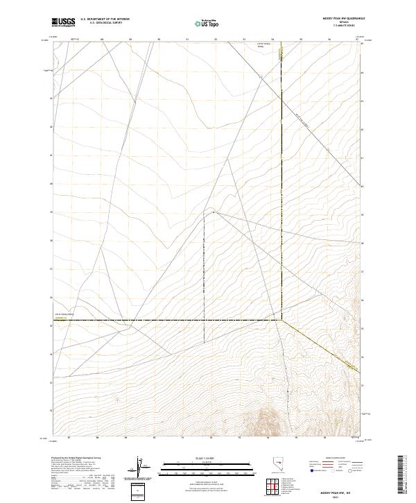
2021 Map of Moody Peak NW
USGS Topo · Published 2021About this map
Little Smoky Valley stretches across this portion of the Great Basin, where the boundaries of three Nevada counties—Eureka, White Pine, and Nye—meet in a remote desert landscape. This 2021 topographic survey reveals a rugged interior of the state defined by expansive valley floors and rising mountain slopes, largely undeveloped save for the thin corridor of White Pine Co Road 7 which traverses the northeastern corner. The intersection of Eureka Co Nye Co, Eureka Co White Pine Co, and White Pine Co Nye Co boundary lines serves as a primary geographic anchor for this sparsely populated region. For those studying the administrative divisions of central Nevada, this map clarifies the precise topographic points where these jurisdictions overlap amidst the arid terrain of the valley and its surrounding ridges.
Find a feature on this map
9 named features on this map. Tap any name to fly to it.
Don’t see what you’re looking for? This feature index may not catch every label — zoom into the map to look around manually.
Map Details
Editions of this 2021 Moody Peak NW Map
This is the sole edition of this map. No revisions or reprints were ever made.
Other maps of this area

1926 · Roberts Mountains
USGS Topo · 1:250,000

1929 · Roberts Mountains
USGS Topo · 1:250,000

1953 · Pinto Summit
USGS Topo · 1:62,500

1955 · Millett
USGS Topo · 1:250,000

1956 · Bellevue Peak
USGS Topo · 1:62,500

1956 · Cockalorum Wash
USGS Topo · 1:62,500

1956 · Ely
USGS Topo · 1:250,000

1959 · Ely
USGS Topo · 1:250,000

1959 · Millett
USGS Topo · 1:250,000

1963 · Ely
USGS Topo · 1:250,000