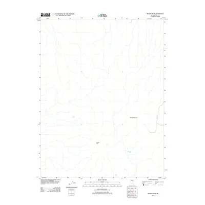
2012 Map of Moody Peak
USGS Topo · Published 2012About this map
Moody Peak and Moody Mountain dominate this corner of Nye County, where the high desert terrain is defined by its vital water sources. This 2012 survey documents a largely undeveloped landscape where small, named water points like Buck Spring and Collins Spring provided essential hydration for cattle or wildlife. These isolated features represent the primary landmarks in an arid expanse, often serving as the only reference points for land management or local navigation. The placement of Mahogany Spring and Moody Spring suggests a reliance on traditional high-elevation water sources that have sustained movement through this Nevada interior for generations.
Find a feature on this map
6 named features on this map. Tap any name to fly to it.
Don’t see what you’re looking for? This feature index may not catch every label — zoom into the map to look around manually.
Map Details
Editions of this 2012 Moody Peak Map
This is the sole edition of this map. No revisions or reprints were ever made.
Other maps of this area

1926 · Roberts Mountains
USGS Topo · 1:250,000

1929 · Roberts Mountains
USGS Topo · 1:250,000

1955 · Millett
USGS Topo · 1:250,000

1956 · Cockalorum Wash
USGS Topo · 1:62,500

1956 · Lund
USGS Topo · 1:250,000

1956 · Ely
USGS Topo · 1:250,000

1956 · Tonopah
USGS Topo · 1:250,000

1959 · Ely
USGS Topo · 1:250,000

1959 · Tonopah
USGS Topo · 1:250,000

1959 · Millett
USGS Topo · 1:250,000