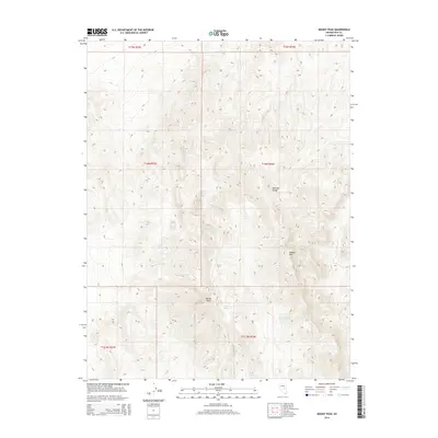
2014 Map of Moody Peak
USGS Topo · Published 2014About this map
Moody Peak and Moody Mtn dominate this high-elevation portion of the Pancake Range in Nye County, Nevada. This high-desert landscape is defined by its vertical relief and the presence of scattered water sources that have historically supported wildlife and grazing in this arid region. The map identifies several vital watering points, including Buck Spring, Collins Spring, Mahogany Spring, and Moody Spring. The layout follows the Public Land Survey System, showing sections across several townships such as t14n r54e and t13.5n r54e. The terrain's complex contouring highlights the ridgelines and drainages typical of the Great Basin, providing a clear record of the area's geography in the early twenty-first century.
Find a feature on this map
13 named features on this map. Tap any name to fly to it.
Don’t see what you’re looking for? This feature index may not catch every label — zoom into the map to look around manually.
Map Details
Editions of this 2014 Moody Peak Map
This is the sole edition of this map. No revisions or reprints were ever made.
Other maps of this area

1926 · Roberts Mountains
USGS Topo · 1:250,000

1929 · Roberts Mountains
USGS Topo · 1:250,000

1955 · Millett
USGS Topo · 1:250,000

1956 · Cockalorum Wash
USGS Topo · 1:62,500

1956 · Lund
USGS Topo · 1:250,000

1956 · Ely
USGS Topo · 1:250,000

1956 · Tonopah
USGS Topo · 1:250,000

1959 · Ely
USGS Topo · 1:250,000

1959 · Tonopah
USGS Topo · 1:250,000

1959 · Millett
USGS Topo · 1:250,000