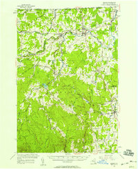
1956 Map of Mooers
USGS Topo · Published 1958About this map
The Canadian border defines the northern limit of this mid-century survey, where the U S Customs station stands near Perry Mills and Mooers. The landscape is dominated by the Great Chazy River and its various branches, which powered early industry like Purdy Mill and shaped the development of settlements such as Mooers Forks and Woods Falls. Two major rail lines, the Rutland Railroad and the Delaware and Hudson Railroad, intersect here, marking a transition from the agricultural lowlands into the elevated terrain of Rand Hill and Flat Rock. Local social life is evidenced by a network of country schools including School No 1 and Witherill Sch, along with community anchors like St Louis de France Ch in Sciota. The southern portion of the map climbs toward Negro Hill, showcasing a shift from rail-oriented valley towns to more isolated uplands.
Find a feature on this map
71 named features on this map. Tap any name to fly to it.
Don’t see what you’re looking for? This feature index may not catch every label — zoom into the map to look around manually.
Map Details
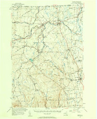
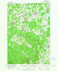
Editions of this 1956 Mooers Map
3 editions found
Other maps of this area

1894 · Plattsburg
USGS Topo · 1:62,500

1895 · Mooers
USGS Topo · 1:62,500

1895 · Rouse Point
USGS Topo · 1:62,500

1899 · Mooers
USGS Topo · 1:62,500

1906 · Plattsburg
USGS Topo · 1:62,500

1907 · Rouse Point
USGS Topo · 1:62,500

1911 · Lyon Mountain
USGS Topo · 1:62,500

1913 · Dannemora
USGS Topo · 1:62,500

1913 · Lyon Mountain
USGS Topo · 1:62,500

1915 · Churubusco
USGS Topo · 1:62,500