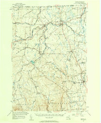
1956 Map of Mooers
USGS Topo · Published 1958About this map
The Canada-United States border defines the northern edge of this North Country landscape, where the Great Chazy River and its numerous tributaries like English River and Corbeau Creek dominate the drainage patterns. Settlement is concentrated along the rail corridors of the Rutland Railroad and the Delaware and Hudson Railroad, connecting hubs like Mooers, Mooers Forks, and West Chazy. The presence of U.S. Customs stations at the international boundary highlights the region's role as a gateway between Quebec and New York.
Find a feature on this map
71 named features on this map. Tap any name to fly to it.
Don’t see what you’re looking for? This feature index may not catch every label — zoom into the map to look around manually.
Map Details
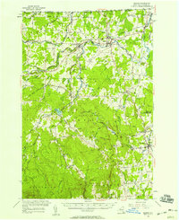
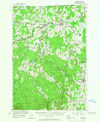
Editions of this 1956 Mooers Map
3 editions found
Other maps of this area

1894 · Plattsburg
USGS Topo · 1:62,500

1895 · Mooers
USGS Topo · 1:62,500

1895 · Rouse Point
USGS Topo · 1:62,500

1899 · Mooers
USGS Topo · 1:62,500

1906 · Plattsburg
USGS Topo · 1:62,500

1907 · Rouse Point
USGS Topo · 1:62,500

1911 · Lyon Mountain
USGS Topo · 1:62,500

1913 · Dannemora
USGS Topo · 1:62,500

1913 · Lyon Mountain
USGS Topo · 1:62,500

1915 · Churubusco
USGS Topo · 1:62,500