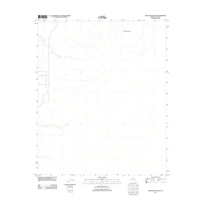
2011 Map of Moon Mountain NE
USGS Topo · Published 2011About this map
Mesquite Mountain dominates the northeastern corner of this arid landscape in La Paz County, north of the Moon Mountain range. The terrain is characterized by a dense network of dry washes and desert drainage systems that flow westward toward the Colorado River valley. This 2011 survey illustrates the sparse human footprint in this part of Arizona, centered on a handful of desert tracks including Mccabe Rd and Hopi Rd. The map serves as a detailed record of the natural topography and primitive road network before any further modernization, capturing the essential isolation of the desert environment between Parker and the mountains.
Find a feature on this map
3 named features on this map. Tap any name to fly to it.
Don’t see what you’re looking for? This feature index may not catch every label — zoom into the map to look around manually.
Map Details
Editions of this 2011 Moon Mountain NE Map
This is the sole edition of this map. No revisions or reprints were ever made.
Other maps of this area

1911 · Parker
USGS Topo · 1:125,000

1930 · Linskey
USGS Topo · 1:62,500

1931 · Moon Mtn
USGS Topo · 1:62,500

1932 · Moon Mtn
USGS Topo · 1:62,500

1942 · Blythe
USGS Topo · 1:250,000

1942 · MOON MTN
USGS Topo · 1:62,500

1943 · Parker
USGS Topo · 1:62,500

1949 · Parker
USGS Topo · 1:62,500

1950 · Parker
USGS Topo · 1:62,500

1954 · Salton Sea
USGS Topo · 1:250,000