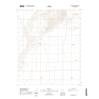
2018 Map of Moon Mountain NE
USGS Topo · Published 2018About this map
The town of Parker sits at the northeastern edge of this Colorado River valley landscape, where the town's grid meets the surrounding desert. The high terrain of Mesquite Mtn dominates the northern portion of the quadrangle, giving way to the expansive drainage of the La Posa Plain to the south. This 2018 survey documents the desert environment just beyond the primary river corridor, illustrating the complex topography of the mountain foothills and the alluvial fans that spread across the valley floor. The map is primarily structured by the Public Land Survey System grid, covering portions of T8N, T7N, and T6N across ranges R20W and R19W, which provides a framework for understanding land ownership and development in this arid region of La Paz County.
Find a feature on this map
9 named features on this map. Tap any name to fly to it.
Don’t see what you’re looking for? This feature index may not catch every label — zoom into the map to look around manually.
Map Details
Editions of this 2018 Moon Mountain NE Map
This is the sole edition of this map. No revisions or reprints were ever made.
Other maps of this area

1911 · Parker
USGS Topo · 1:125,000

1930 · Linskey
USGS Topo · 1:62,500

1931 · Moon Mtn
USGS Topo · 1:62,500

1932 · Moon Mtn
USGS Topo · 1:62,500

1942 · Blythe
USGS Topo · 1:250,000

1942 · MOON MTN
USGS Topo · 1:62,500

1943 · Parker
USGS Topo · 1:62,500

1949 · Parker
USGS Topo · 1:62,500

1950 · Parker
USGS Topo · 1:62,500

1954 · Salton Sea
USGS Topo · 1:250,000