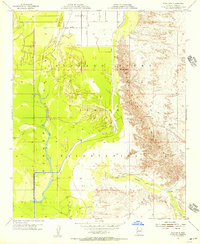
1955 Map of Moon Mtn
USGS Topo · Published 1956About this map
Colorado River Indian Reservation lands dominate this mid-1950s survey, illustrating a landscape defined by both arid peaks and engineered irrigation. The eastern portion of the map is occupied by the sharp rises of the Dome Rock Mountains, where the prominent peak of Moon Mtn stands near several remote industrial sites. Prospectors and local historians will note the Apache Mine and Mammoth Mine situated along the mountain trails, while a Landing Strip suggests the necessity of aerial access for this isolated desert terrain.
Find a feature on this map
14 named features on this map. Tap any name to fly to it.
Don’t see what you’re looking for? This feature index may not catch every label — zoom into the map to look around manually.
Map Details
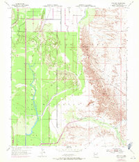
Editions of this 1955 Moon Mtn Map
2 editions found
Other maps of this area

1931 · Moon Mtn
USGS Topo · 1:62,500

1932 · Moon Mtn
USGS Topo · 1:62,500

1933 · Cunningham Mtn
USGS Topo · 1:48,000

1940 · Dome Rock Mts
USGS Topo · 1:62,500

1942 · Blythe
USGS Topo · 1:250,000

1942 · MOON MTN
USGS Topo · 1:62,500

1945 · Big Maria Mtns
USGS Topo · 1:62,500

1951 · Big Maria Mts
USGS Topo · 1:62,500

1951 · Blythe NE
USGS Topo · 1:24,000

1954 · Salton Sea
USGS Topo · 1:250,000