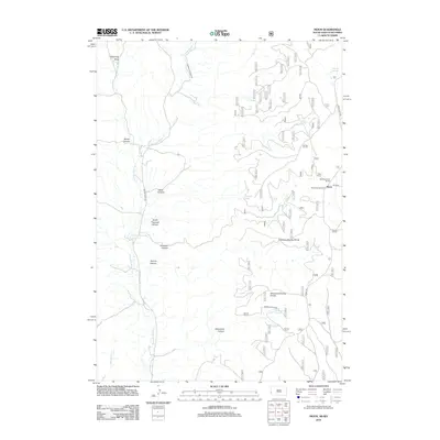
2012 Map of Moon
USGS Topo · Published 2012About this map
Stockade Beaver Cr and its many tributaries carve a network of deep canyons through this portion of Pennington County. The landscape is defined by its dramatic topographic shifts, moving from the depths of Brown Canyon and Sherwood Canyon up to the high ridges of the Thomson-Kinney Divide. The small settlement of Moon and the Neuman-Scott Ranch represent the primary points of human habitation in this isolated terrain, where water sources like Antelope Springs and Sherwood Spring have long dictated the movement of people and livestock.
Find a feature on this map
28 named features on this map. Tap any name to fly to it.
Don’t see what you’re looking for? This feature index may not catch every label — zoom into the map to look around manually.
Map Details
Editions of this 2012 Moon Map
This is the sole edition of this map. No revisions or reprints were ever made.
Other maps of this area

1894 · Deadwood
USGS Topo · 1:125,000

1896 · Harney Peak
USGS Topo · 1:125,000

1898 · Sundance
USGS Topo · 1:125,000

1899 · Newcastle
USGS Topo · 1:125,000

1901 · Harney Peak
USGS Topo · 1:125,000

1901 · Deadwood
USGS Topo · 1:125,000

1901 · Newcastle
USGS Topo · 1:125,000

1902 · Sundance
USGS Topo · 1:125,000

1916 · Deadwood
USGS Topo · 1:125,000

1951 · Newcastle
USGS Topo · 1:24,000