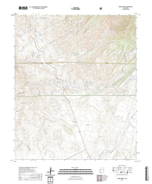
2023 Map of Moon Ranch
USGS Topo · Published 2023About this map
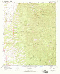
Gila Wilderness and the Gila National Forest dominate this high-desert landscape in southwestern New Mexico. The terrain is defined by a dense network of drainages including Big Dry Creek and Little Dry Creek, which cut through the complex topography of Black Mtn and Soldier Hill. This area is part of a ranching and water-management system where dozens of named tanks and springs, such as Bills Hole Tank and Big Dry Box Spring, provide critical resources across the arid expanse of Cactus Flat.
Find a feature on this map
63 named features on this map. Tap any name to fly to it.
Don’t see what you’re looking for? This feature index may not catch every label — zoom into the map to look around manually.
Map Details
Editions of this 2023 Moon Ranch Map
This is the sole edition of this map. No revisions or reprints were ever made.
Other maps of this area

1910 · Mogollon
USGS Topo · 1:125,000

1912 · Mogollon
USGS Topo · 1:125,000

1954 · Clifton
USGS Topo · 1:250,000

1957 · Clifton
USGS Topo · 1:250,000

1958 · Clifton
USGS Topo · 1:250,000

1962 · Clifton
USGS Topo · 1:250,000
1965 · Mule Creek
USGS Topo · 1:24,000
1965 · Wilson Mountain
USGS Topo · 1:24,000
1965 · Rice Ranch
USGS Topo · 1:24,000
1965 · Holt Mountain
USGS Topo · 1:24,000