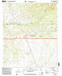
1999 Map of Moon Ranch
USGS Topo · Published 2002About this map
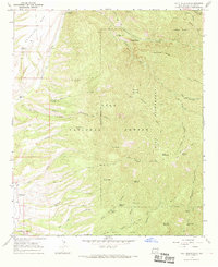
Moon Ranch and Rice Ranch sit within a landscape defined by the deep drainage systems of the Gila National Forest and the protected terrain of the Gila Wilderness. The 1999 revision shows a network of watering points critical to high-desert ranching, including Cedar Breaks Well, Estes Well, and numerous named catchments like Porcupine Tanks and Twomile Tanks. A significant cultural landmark, the Leopold Vista Historical Monument, is positioned near the Glenwood Ranger District boundary. The topography is deeply carved by water, featuring the prominent White Rock Canyon, Red Hair Creek, and Big Dry Creek. Evidence of aviation and infrastructure in this remote corner of Catron and Grant counties is noted by a lonely Landing Strip and the high summit of Black Mountain.
Find a feature on this map
63 named features on this map. Tap any name to fly to it.
Don’t see what you’re looking for? This feature index may not catch every label — zoom into the map to look around manually.
Map Details
Editions of this 1999 Moon Ranch Map
This is the sole edition of this map. No revisions or reprints were ever made.
Other maps of this area

1910 · Mogollon
USGS Topo · 1:125,000

1912 · Mogollon
USGS Topo · 1:125,000

1954 · Clifton
USGS Topo · 1:250,000

1957 · Clifton
USGS Topo · 1:250,000

1958 · Clifton
USGS Topo · 1:250,000

1962 · Clifton
USGS Topo · 1:250,000
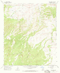
1965 · Mule Creek
USGS Topo · 1:24,000
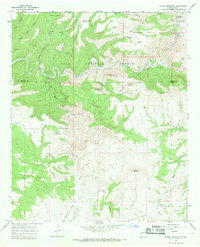
1965 · Wilson Mountain
USGS Topo · 1:24,000
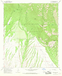
1965 · Rice Ranch
USGS Topo · 1:24,000
1965 · Holt Mountain
USGS Topo · 1:24,000