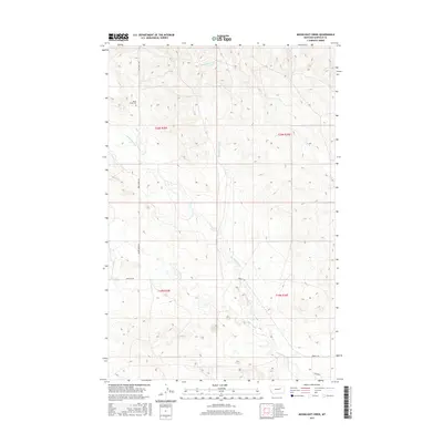
2017 Map of Moonlight Creek
USGS Topo · Published 2017About this map
Butte Creek Cem sits in the northwest quadrant of this Garfield County landscape, marking a point of long-standing local history in an area defined by sparse settlements and vast drainage networks. The terrain is intricately carved by several watercourses, including the central Moonlight Creek and the southern Butts Coulee, which flow through the sections of townships T20N R35E and T19N R36E.
Find a feature on this map
13 named features on this map. Tap any name to fly to it.
Don’t see what you’re looking for? This feature index may not catch every label — zoom into the map to look around manually.
Map Details
Editions of this 2017 Moonlight Creek Map
This is the sole edition of this map. No revisions or reprints were ever made.
Other maps of this area

1954 · Jordan
USGS Topo · 1:250,000

1956 · Jordan
USGS Topo · 1:250,000

1958 · Jordan
USGS Topo · 1:250,000

1964 · Jordan
USGS Topo · 1:250,000

1971 · Hell Hollow
USGS Topo · 1:24,000

1971 · Trumbo Ranch
USGS Topo · 1:24,000

1971 · Chalk Butte
USGS Topo · 1:24,000

1978 · Fort Peck Lake West
USGS Topo · 1:100,000
1983 · Biscuit Butte
USGS Topo · 1:24,000

1983 · Steve Forks
USGS Topo · 1:24,000