
1916 Map of Moonshine Hill
USGS Topo · Published 1916About this map
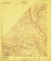
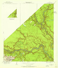
The San Jacinto River and its East Fork dominate this 1916 advance sheet, illustrating the intricate drainage system of Harris and Montgomery counties before modern suburban development. The landscape is defined by a dense network of waterways and low-lying features like Odom Lake Swamp and the Mc Albany Ponds. The presence of the H. E. and W. T. railroad line cutting through the western portion of the map indicates the primary transportation corridor of the early 20th century. Numerous family-named landmarks such as Bosman Lake, Cobb Gully, and Mills Creek provide specific points of interest for genealogists tracing local land holdings. This survey, conducted in cooperation with W. H. Ward, County Judge, preserves the natural topography of the area including Blue Lake and Horseshoe Lake during a period of agricultural and timber reliance.
Find a feature on this map
21 named features on this map. Tap any name to fly to it.
Don’t see what you’re looking for? This feature index may not catch every label — zoom into the map to look around manually.
Map Details
Editions of this 1916 Moonshine Hill Map
3 editions found
Other maps of this area

1916 · Crosby
USGS Topo · 1:24,000

1916 · Harmaston
USGS Topo · 1:24,000

1916 · Huffman
USGS Topo · 1:24,000

1916 · Humble
USGS Topo · 1:24,000

1919 · Humble
USGS Topo · 1:31,680

1919 · Weeden
USGS Topo · 1:31,680

1919 · Crosby
USGS Topo · 1:31,680

1920 · Harmaston
USGS Topo · 1:31,680

1920 · Moonshine Hill
USGS Topo · 1:31,680

1920 · Huffman
USGS Topo · 1:31,680