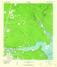
1961 Map of Moonshine Hill
USGS Topo · Published 1962About this map
The confluence of the West Fork San Jacinto River and its East Fork marks a transition in the Texas landscape just before the completion of major reservoir projects. In this early 1960s study, the area is defined by the industrial activity of the Riverside Field and the eponymous Moonshine Hill, where oil wells and pipelines crisscross the terrain. Small residential developments like Timberlane Acres, Dogwood Acres, and Woody Acres signal the post-war suburban expansion moving north from Houston into the wooded areas of Harris and Montgomery counties.
Find a feature on this map
61 named features on this map. Tap any name to fly to it.
Don’t see what you’re looking for? This feature index may not catch every label — zoom into the map to look around manually.
Map Details
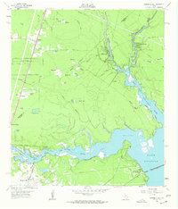
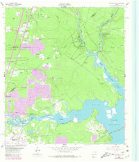
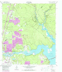
Editions of this 1961 Moonshine Hill Map
4 editions found
Other maps of this area

1916 · Crosby
USGS Topo · 1:24,000

1916 · Harmaston
USGS Topo · 1:24,000

1916 · Moonshine Hill
USGS Topo · 1:24,000

1916 · Huffman
USGS Topo · 1:24,000

1916 · Humble
USGS Topo · 1:24,000

1919 · Humble
USGS Topo · 1:31,680

1919 · Weeden
USGS Topo · 1:31,680

1919 · Crosby
USGS Topo · 1:31,680

1920 · Harmaston
USGS Topo · 1:31,680

1920 · Moonshine Hill
USGS Topo · 1:31,680