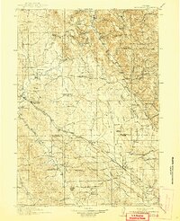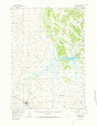
1957 Map of Moorcroft
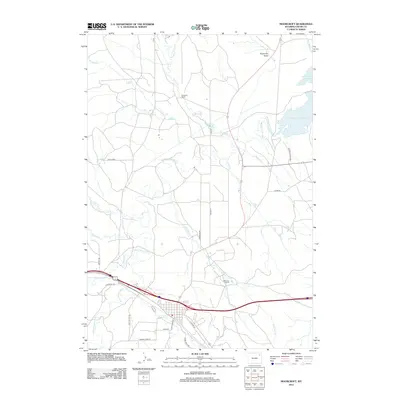
USGS Topo · Published 1973About this map
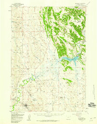
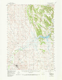
Moorcroft serves as a critical rail and river junction in northeastern Wyoming, situated where the Chicago Burlington and Quincy railroad crosses the Belle Fourche River. The landscape is dominated by the newly formed Keyhole Reservoir, created by the Keyhole Dam, which has transformed the local hydrology of the river's upper reaches. Cattle ranching and dry-land agriculture are evident through numerous named properties such as the Schuricht Ranch and Robinson Ranch, while the area's pioneer heritage is preserved by the Texas Trail and an Historical Mon located near the town center.
Find a feature on this map
56 named features on this map. Tap any name to fly to it.
Don’t see what you’re looking for? This feature index may not catch every label — zoom into the map to look around manually.
Map Details
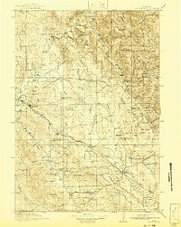
Editions of this 1957 Moorcroft Map
3 editions found
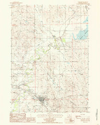
Historical Maps of Moorcroft Through Time
8 maps found