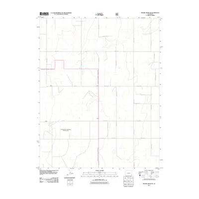
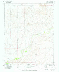
2011 Map of Moore Draw NE
USGS Topo · Published 2011About this map
The North Fork Cimarron River meanders across this corner of Southeast Colorado, carving subtle drainage patterns through a landscape largely defined by federal land management. Portions of the Comanche National Grassland are documented here, showing the boundary lines where public conservation lands meet private rural holdings. The area is organized by a precise grid of section lines and gravel paths, including County Road W and County Road M. This survey reflects the modern agricultural and ranching layout of Baca County, where wide-open spaces are segmented by long-standing transit corridors such as County Rd 45 and the unique County Rd 42 8/10, providing a detailed look at the infrastructure supporting this high plains environment.
Find a feature on this map
17 named features on this map. Tap any name to fly to it.
Don’t see what you’re looking for? This feature index may not catch every label — zoom into the map to look around manually.
Map Details
Editions of this 2011 Moore Draw NE Map
This is the sole edition of this map. No revisions or reprints were ever made.
Other maps of this area

1892 · Vilas
USGS Topo · 1:125,000

1955 · La Junta
USGS Topo · 1:250,000

1958 · La Junta
USGS Topo · 1:250,000

1968 · La Junta
USGS Topo · 1:250,000

1978 · Walsh SE
USGS Topo · 1:24,000
1978 · Moore Draw SW
USGS Topo · 1:24,000
1978 · Midway
USGS Topo · 1:24,000

1978 · Moore Draw NE
USGS Topo · 1:24,000
1978 · Moore Draw SE
USGS Topo · 1:24,000
1978 · Midway SW
USGS Topo · 1:24,000