
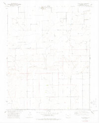
1978 Map of Moore Draw NE
USGS Topo · Published 1978About this map
North Fork Cimarron River carves a winding path across this corner of Baca County, defining the drainage patterns of an arid landscape in the late 1970s. The terrain is marked by the branching tributaries of Moore Draw and an active energy infrastructure indicative of the region's mid-century economic focus. Resource extraction is evident through scattered markers for Oil Well, Gas Well, and a Drill Hole, all connected by a traversing Pipeline. This survey captures the intersection of natural watercourses and industrial development in the high plains just nine miles from the state line.
Find a feature on this map
8 named features on this map. Tap any name to fly to it.
Don’t see what you’re looking for? This feature index may not catch every label — zoom into the map to look around manually.
Map Details
Editions of this 1978 Moore Draw NE Map
This is the sole edition of this map. No revisions or reprints were ever made.
Other maps of this area

1892 · Vilas
USGS Topo · 1:125,000

1955 · La Junta
USGS Topo · 1:250,000

1958 · La Junta
USGS Topo · 1:250,000

1968 · La Junta
USGS Topo · 1:250,000

1978 · Walsh SE
USGS Topo · 1:24,000
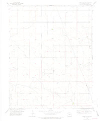
1978 · Moore Draw SW
USGS Topo · 1:24,000
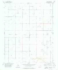
1978 · Midway
USGS Topo · 1:24,000
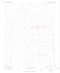
1978 · Moore Draw SE
USGS Topo · 1:24,000
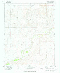
1978 · Midway SW
USGS Topo · 1:24,000
1978 · Vilas South
USGS Topo · 1:24,000