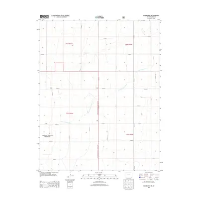
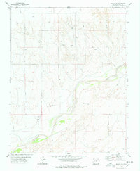
2013 Map of Moore Draw NE
USGS Topo · Published 2013About this map
The North Fork Cimarron River meanders across this high plains landscape in Southeast Colorado, carving a shallow path through the vast Comanche National Grassland. This section of Baca County is defined by a rigid grid of agricultural and access routes, including CO Road 42 and CO Road 44, which segment the terrain into precise sections of the Public Land Survey System. The map reveals the intersection of the natural drainage of the North Fork Cimarron River with the human-imposed geometry of the range roads, such as CO Road M and CO Road S. This 2013 survey documents a sparsely populated area where the economy and geography are centered on grazing and open prairie management within the federal grassland system.
Find a feature on this map
24 named features on this map. Tap any name to fly to it.
Don’t see what you’re looking for? This feature index may not catch every label — zoom into the map to look around manually.
Map Details
Editions of this 2013 Moore Draw NE Map
This is the sole edition of this map. No revisions or reprints were ever made.
Other maps of this area

1892 · Vilas
USGS Topo · 1:125,000

1955 · La Junta
USGS Topo · 1:250,000

1958 · La Junta
USGS Topo · 1:250,000

1968 · La Junta
USGS Topo · 1:250,000

1978 · Walsh SE
USGS Topo · 1:24,000
1978 · Moore Draw SW
USGS Topo · 1:24,000
1978 · Midway
USGS Topo · 1:24,000

1978 · Moore Draw NE
USGS Topo · 1:24,000
1978 · Moore Draw SE
USGS Topo · 1:24,000
1978 · Midway SW
USGS Topo · 1:24,000