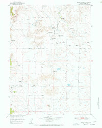
1951 Map of Moore Spring
USGS Topo · Published 1985About this map
Ranching life in the Goshen County high country is the central theme of this mid-century survey, which reveals a landscape defined by isolated homesteads and vital water sources. The namesake Moore Spring serves as a focal point near the Moore Spring School, illustrating the communal infrastructure required for remote families in the Wildcat Hills region. Numerous family-named properties like the Newell Ranch, Vandra Ranch, and Pugsley Ranch are connected by a network of unimproved tracks and established routes like Rawhide Road.
Find a feature on this map
34 named features on this map. Tap any name to fly to it.
Don’t see what you’re looking for? This feature index may not catch every label — zoom into the map to look around manually.
Map Details
Editions of this 1951 Moore Spring Map
3 editions found
Other maps of this area

1896 · Patrick
USGS Topo · 1:125,000

1896 · Hartville
USGS Topo · 1:125,000

1901 · Hartville
USGS Topo · 1:125,000

1950 · Guernsey
USGS Topo · 1:24,000

1950 · Casebier Hill
USGS Topo · 1:24,000

1950 · Hell Gap
USGS Topo · 1:24,000
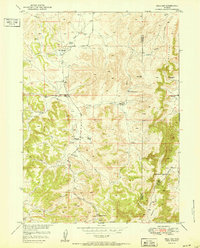
1951 · Hell Gap
USGS Topo · 1:24,000

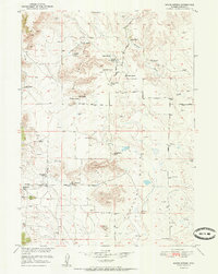
1951 · Moore Spring
USGS Topo · 1:24,000

1954 · Torrington
USGS Topo · 1:250,000

1958 · Torrington
USGS Topo · 1:250,000