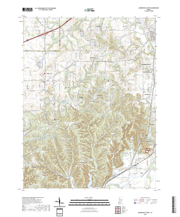
2022 Map of Mooresville West
USGS Topo · Published 2022About this map
The White River and its western tributaries define this area of Morgan County during a period of steady residential and rural development. The landscape is dotted with several small communities and established settlements, including Monrovia, Brooklyn, and Bethany. Significant local history is preserved at the White Lick Friends Cem and Bethesda Cem, while the region's transport and utility are evidenced by the Pegasus Farms Airfield and the Milhon Airport. This modern survey illustrates the persistent importance of natural water bodies like White Lick Creek and McCracken Creek alongside modern road networks such as W State Rd 42. A distinct elevation change is visible at Long Ridge and Robb Hill, where the terrain transitions from the river valley toward the rolling heights surrounding Bunker Hill and Gasburg.
Find a feature on this map
81 named features on this map. Tap any name to fly to it.
Don’t see what you’re looking for? This feature index may not catch every label — zoom into the map to look around manually.
Map Details
Editions of this 2022 Mooresville West Map
This is the sole edition of this map. No revisions or reprints were ever made.
Historical Maps of Wilbur Through Time
12 maps found
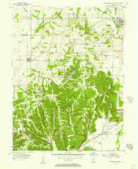
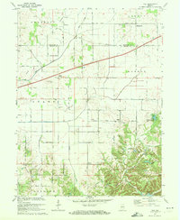
1955 Cope
Morgan County, IN
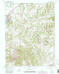
1955 Hall
Morgan County, IN
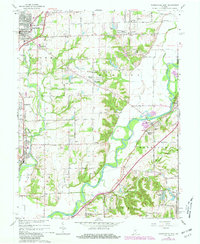
1955 Mooresville East
Morgan County, IN
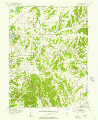
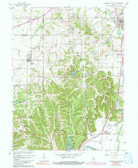
1955 Mooresville West
Morgan County, IN
1965 Cope
Morgan County, IN
1965 Mooresville East
Morgan County, IN
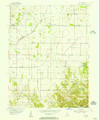
1965 Mooresville West
Morgan County, IN
1970 Hall
Morgan County, IN
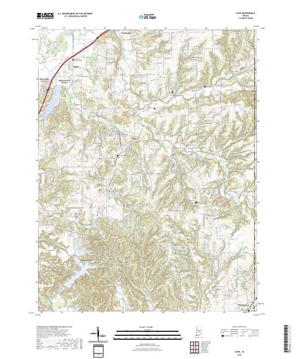
2022 Cope
Morgan County, IN
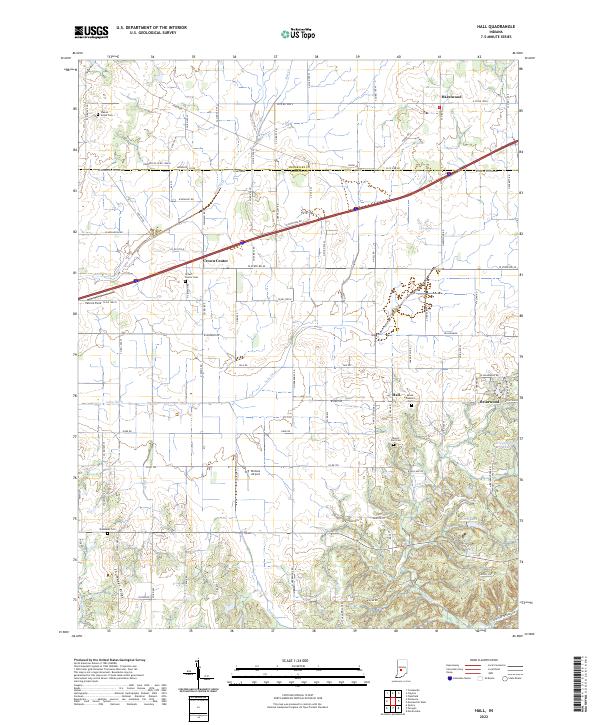
2022 Hall
Morgan County, IN
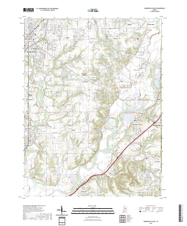
2022 Mooresville East
Morgan County, IN
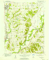
2022 Mooresville West
Morgan County, IN