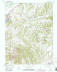
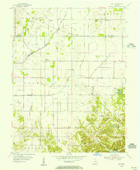
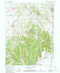
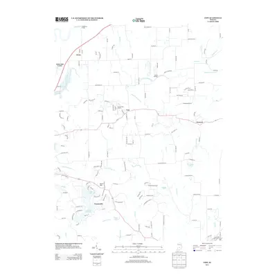
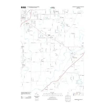
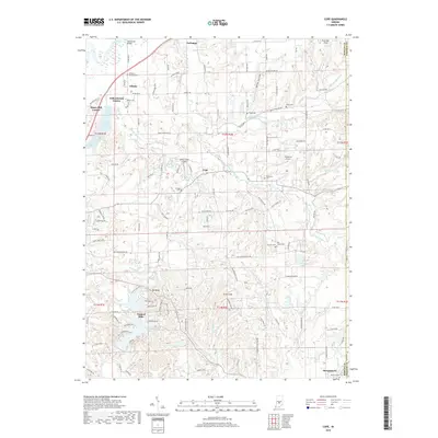
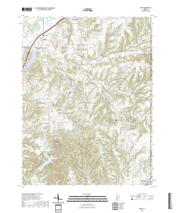
1965 Map of Cope
USGS Topo · Published 1981About this map
The White River and Stotts Creek define the northern drainage of this landscape, while the interior is marked by the winding courses of the North Prong and South Prong. Centered on the crossroads of Cope, the area showcases a mid-century rural infrastructure of small family cemeteries and country churches. Local history is anchored by sites like Williams Cem, Scroggins Cem, and Nast Chapel Cem, which offer significant value for genealogical research in this part of Green and Jackson townships.
Find a feature on this map
78 named features on this map. Tap any name to fly to it.
Don’t see what you’re looking for? This feature index may not catch every label — zoom into the map to look around manually.
Map Details
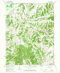
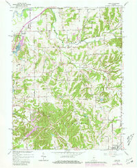
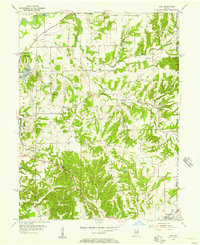
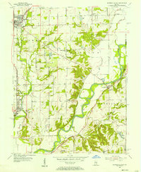
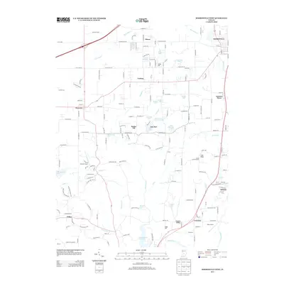
Editions of this 1965 Cope Map
3 editions found
Historical Maps of Adams Through Time
28 maps found
1955 Cope
Morgan County, IN
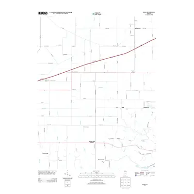
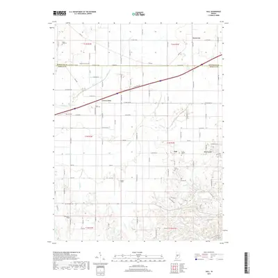
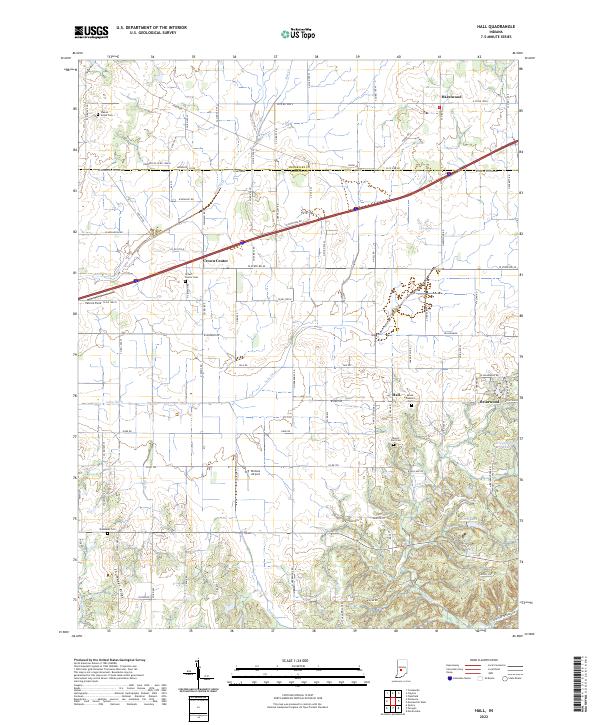
1955 Hall
Morgan County, IN
1955 Mooresville East
Morgan County, IN
1955 Mooresville West
Morgan County, IN
1965 Cope
Morgan County, IN
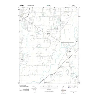
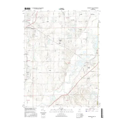
1965 Mooresville East
Morgan County, IN
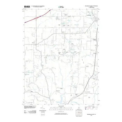
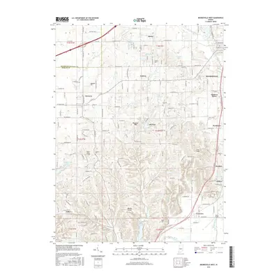
1965 Mooresville West
Morgan County, IN
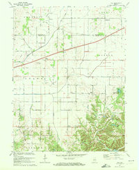
1970 Hall
Morgan County, IN
2010 Cope
Morgan County, IN
2010 Hall
Morgan County, IN
2010 Mooresville East
Morgan County, IN
2010 Mooresville West
Morgan County, IN
2013 Cope
Morgan County, IN
2013 Hall
Morgan County, IN
2013 Mooresville East
Morgan County, IN
2013 Mooresville West
Morgan County, IN
2016 Cope
Morgan County, IN
2016 Hall
Morgan County, IN
2016 Mooresville East
Morgan County, IN
2016 Mooresville West
Morgan County, IN
2019 Cope
Morgan County, IN
2019 Hall
Morgan County, IN
2019 Mooresville East
Morgan County, IN
2019 Mooresville West
Morgan County, IN
2022 Cope
Morgan County, IN
2022 Hall
Morgan County, IN
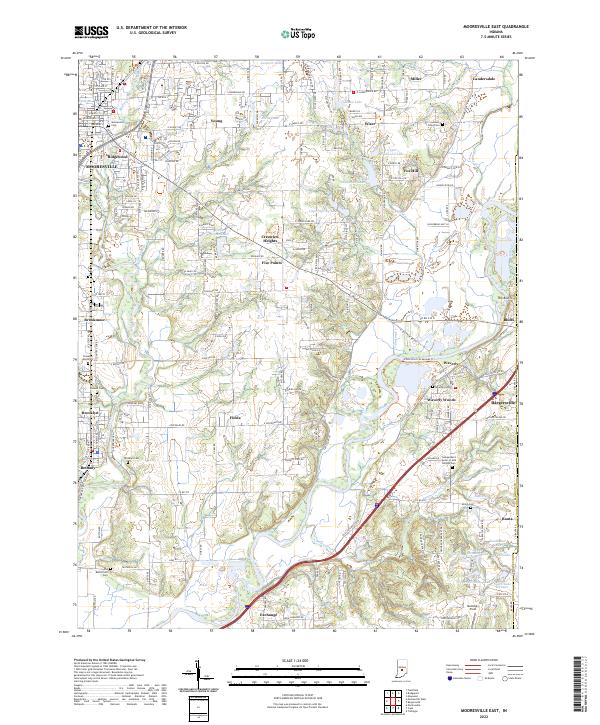
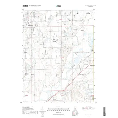
2022 Mooresville East
Morgan County, IN
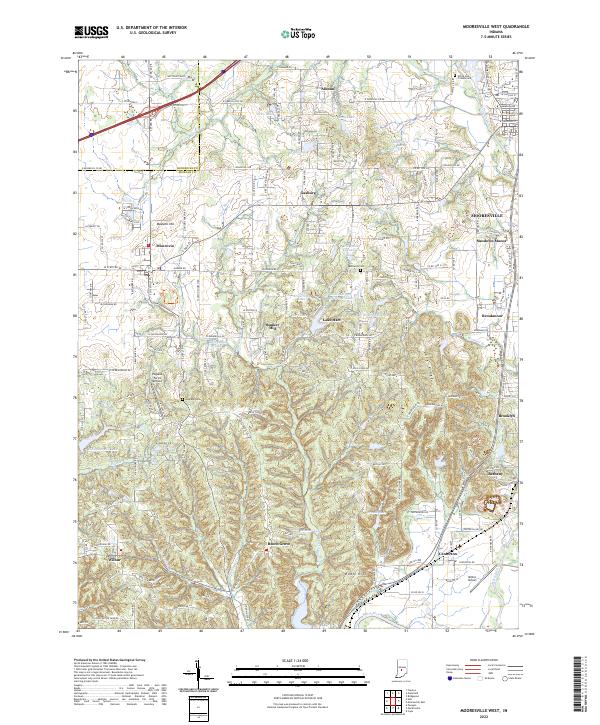
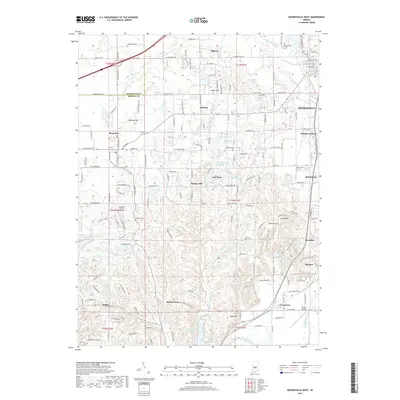
2022 Mooresville West
Morgan County, IN