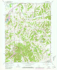
1965 Map of Cope
USGS Topo · Published 1981About this map
The White River and Stotts Creek define the northern drainage of this Morgan County landscape, where rural life in the mid-1960s centered on crossroads like Stines Mill Corner and the settlement of Cope. The map reveals a high density of community landmarks, from the Township Sch and Pleasant Grove Ch in Green Township to the New Harmony Ch near the northern boundary.
Find a feature on this map
65 named features on this map. Tap any name to fly to it.
Don’t see what you’re looking for? This feature index may not catch every label — zoom into the map to look around manually.
Map Details
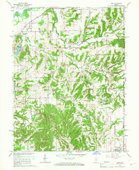
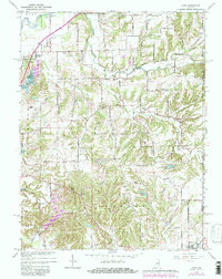
Editions of this 1965 Cope Map
3 editions found
Other maps of this area

1942 · Franklin
USGS Topo · 1:125,000

1947 · Franklin
USGS Topo · 1:62,500

1948 · Trafalgar
USGS Topo · 1:24,000

1948 · Hindustan
USGS Topo · 1:24,000

1948 · Fruitdale
USGS Topo · 1:24,000

1948 · Morgantown
USGS Topo · 1:24,000

1950 · Morgantown
USGS Topo · 1:24,000

1950 · Franklin
USGS Topo · 1:62,500

1952 · Bargersville
USGS Topo · 1:24,000

1953 · Indianapolis
USGS Topo · 1:250,000