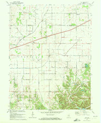
1970 Map of Hall
USGS Topo · Published 1972About this map
Hall serves as a central point in this rural landscape at the intersection of Gregg and Adams townships. The map documents a predominantly agricultural region defined by drainage networks like Lake Ditch and Mud Creek, where small settlements and rural institutions provided the foundation for local life. Significant genealogical markers are scattered throughout the countryside, including the Crown Center Cem near the junction of North Road and the Mt Pleasant Cem adjacent to the town of Hall.
Find a feature on this map
35 named features on this map. Tap any name to fly to it.
Don’t see what you’re looking for? This feature index may not catch every label — zoom into the map to look around manually.
Map Details
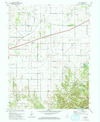
Editions of this 1970 Hall Map
2 editions found
Other maps of this area

1942 · Franklin
USGS Topo · 1:125,000

1949 · Quincy
USGS Topo · 1:24,000

1953 · Clayton
USGS Topo · 1:24,000

1953 · Plainfield
USGS Topo · 1:24,000

1953 · Indianapolis
USGS Topo · 1:250,000

1955 · Hall
USGS Topo · 1:24,000

1955 · Mooresville West
USGS Topo · 1:24,000

1955 · Martinsville
USGS Topo · 1:24,000

1956 · Indianapolis
USGS Topo · 1:250,000

1956 · Eminence
USGS Topo · 1:24,000