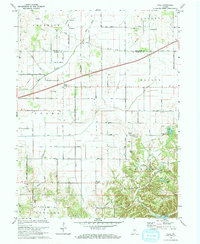
1970 Map of Hall
USGS Topo · Published 1972About this map
Hall sits at the center of this rural landscape where the boundaries of Adams, Gregg, and Monroe townships converge. This 1970 survey captures a period of transition as Interstate 70 cuts a modern path across the northern half of the sheet, contrasting with the established agrarian grid of roads like 1000 South Road and 1000 North Road. To the south, the terrain becomes more varied around Lambs Creek and the wooded vicinity of Camp Berean, where smaller bodies of water like Patton Lake and Kivett Lake are located.
Find a feature on this map
38 named features on this map. Tap any name to fly to it.
Don’t see what you’re looking for? This feature index may not catch every label — zoom into the map to look around manually.
Map Details
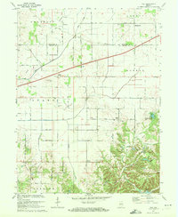
Editions of this 1970 Hall Map
2 editions found
Other maps of this area

1942 · Franklin
USGS Topo · 1:125,000

1949 · Quincy
USGS Topo · 1:24,000

1953 · Clayton
USGS Topo · 1:24,000

1953 · Plainfield
USGS Topo · 1:24,000

1953 · Indianapolis
USGS Topo · 1:250,000

1955 · Hall
USGS Topo · 1:24,000

1955 · Mooresville West
USGS Topo · 1:24,000

1955 · Martinsville
USGS Topo · 1:24,000

1956 · Indianapolis
USGS Topo · 1:250,000

1956 · Eminence
USGS Topo · 1:24,000