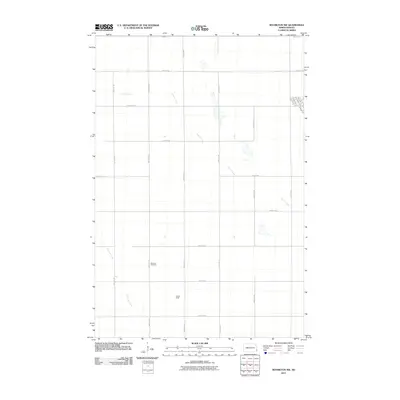
2011 Map of Mooreton NW
USGS Topo · Published 2011About this map
Pitcairn Creek winds through the northern half of this Richland County landscape, where the terrain is dominated by a precise grid of rural section roads and agricultural drainages. This 2011 survey captures the area southwest of Colfax, characterized by a mix of long-standing farming infrastructure and modern transportation corridors. Genealogy researchers will find the Stearns Cemetery along 166th Ave SE, a localized landmark in an area defined by family-run fields such as Kuruc Field. The southwestern corner is shaped by the meanders of Antelope Creek, which breaks the otherwise rigid geometry of the county road system. Residential streets like Lincoln Ave and Grand Ave appear at the eastern margin, indicating the outskirts of a growing settlement near County Rd 1.
Find a feature on this map
25 named features on this map. Tap any name to fly to it.
Don’t see what you’re looking for? This feature index may not catch every label — zoom into the map to look around manually.
Map Details
Editions of this 2011 Mooreton NW Map
This is the sole edition of this map. No revisions or reprints were ever made.
Other maps of this area

1895 · Fargo
USGS Topo · 1:125,000

1895 · Casselton
USGS Topo · 1:125,000

1897 · Fargo
USGS Topo · 1:125,000

1897 · Casselton
USGS Topo · 1:125,000

1904 · Wahpeton
USGS Topo · 1:125,000

1907 · Wyndmere
USGS Topo · 1:125,000

1953 · Fargo
USGS Topo · 1:250,000

1956 · Fargo
USGS Topo · 1:250,000

1959 · Wyndmere NE
USGS Topo · 1:24,000

1959 · Mooreton NW
USGS Topo · 1:24,000