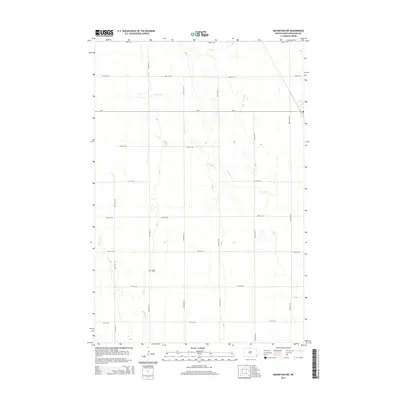
2014 Map of Mooreton NW
USGS Topo · Published 2014About this map
Stearns Cem sits at the heart of this agricultural landscape in Richland County, offering a tangible link to the early families who settled this portion of the Red River Valley. The terrain is defined by the subtle, winding paths of Pitcairn Cr and Antelope Cr, which provide natural drainage across the flat, glaciated plains. A precise grid of section roads, including CR-4 and 165th Ave SE, reflects the enduring legacy of the Public Land Survey System, which organized the North Dakota prairie into uniform townships and ranges. This 2014 survey captures the area in its modern state, where the industrial-scale farming operations continue to follow the boundaries established by 19th-century pioneers.
Find a feature on this map
18 named features on this map. Tap any name to fly to it.
Don’t see what you’re looking for? This feature index may not catch every label — zoom into the map to look around manually.
Map Details
Editions of this 2014 Mooreton NW Map
This is the sole edition of this map. No revisions or reprints were ever made.
Other maps of this area

1895 · Fargo
USGS Topo · 1:125,000

1895 · Casselton
USGS Topo · 1:125,000

1897 · Fargo
USGS Topo · 1:125,000

1897 · Casselton
USGS Topo · 1:125,000

1904 · Wahpeton
USGS Topo · 1:125,000

1907 · Wyndmere
USGS Topo · 1:125,000

1953 · Fargo
USGS Topo · 1:250,000

1956 · Fargo
USGS Topo · 1:250,000

1959 · Wyndmere NE
USGS Topo · 1:24,000

1959 · Mooreton NW
USGS Topo · 1:24,000