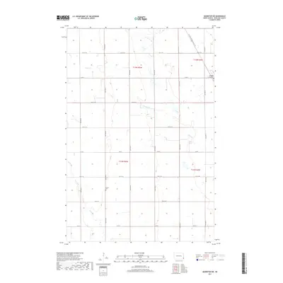
2017 Map of Mooreton NW
USGS Topo · Published 2017About this map
Colfax sits on the eastern edge of this Richland County landscape, where the prairie is defined by a precise grid of section lines and gravel roads. The terrain is shaped by the subtle meandering of Pitcairn Cr and Antelope Cr, which cut through the agricultural sections. For those tracing local heritage, Stearns Cem remains a quiet landmark located along 165th Ave SE. A notable modern addition to this rural expanse is the N Country National Scenic Trail, which angles across the northeastern corner of the map, providing a contrast to the strictly north-south orientation of the local infrastructure. The map illustrates a classic Red River Valley settlement pattern, where small communities like Colfax served as vital hubs for the surrounding farmsteads linked by routes such as Co Rd 4 and Colfax Ave.
Find a feature on this map
24 named features on this map. Tap any name to fly to it.
Don’t see what you’re looking for? This feature index may not catch every label — zoom into the map to look around manually.
Map Details
Editions of this 2017 Mooreton NW Map
This is the sole edition of this map. No revisions or reprints were ever made.
Other maps of this area

1895 · Fargo
USGS Topo · 1:125,000

1895 · Casselton
USGS Topo · 1:125,000

1897 · Fargo
USGS Topo · 1:125,000

1897 · Casselton
USGS Topo · 1:125,000

1904 · Wahpeton
USGS Topo · 1:125,000

1907 · Wyndmere
USGS Topo · 1:125,000

1953 · Fargo
USGS Topo · 1:250,000

1956 · Fargo
USGS Topo · 1:250,000

1959 · Wyndmere NE
USGS Topo · 1:24,000

1959 · Mooreton NW
USGS Topo · 1:24,000