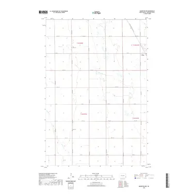
2020 Map of Mooreton NW
USGS Topo · Published 2020About this map
Colfax sits at the edge of this Richland County landscape, a region defined by its highly organized section-line road network and the meandering drainage of the Red River Valley. The area's agricultural heritage and community history are anchored by local landmarks such as Zion United Cem and Stearns Cem, which serve as vital touchstones for genealogical research in this part of North Dakota. Across the northern reaches, the N Country National Scenic Trail cuts a diagonal path, offering a modern contrast to the rigid grid of county roads. Small watercourses like Pitcairn Cr and Antelope Cr thread through the township blocks, illustrating the natural hydrology that early settlers navigated when establishing the farms that still dominate the terrain today.
Find a feature on this map
26 named features on this map. Tap any name to fly to it.
Don’t see what you’re looking for? This feature index may not catch every label — zoom into the map to look around manually.
Map Details
Editions of this 2020 Mooreton NW Map
This is the sole edition of this map. No revisions or reprints were ever made.
Other maps of this area

1895 · Fargo
USGS Topo · 1:125,000

1895 · Casselton
USGS Topo · 1:125,000

1897 · Fargo
USGS Topo · 1:125,000

1897 · Casselton
USGS Topo · 1:125,000

1904 · Wahpeton
USGS Topo · 1:125,000

1907 · Wyndmere
USGS Topo · 1:125,000

1953 · Fargo
USGS Topo · 1:250,000

1956 · Fargo
USGS Topo · 1:250,000

1959 · Wyndmere NE
USGS Topo · 1:24,000

1959 · Mooreton NW
USGS Topo · 1:24,000