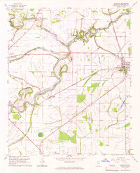
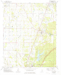
1965 Map of Mooreville
USGS Topo · Published 1966About this map
The Big Sunflower River and Quiver River dominate this mid-century landscape of the Mississippi Delta, carving winding paths through a region defined by its bayous and agricultural networks. The settlement of Moorhead serves as a central hub, situated at the junction of the Illinois Central and the Columbus and Greenville railroads. This intersection underscores the area's historical reliance on rail transport for moving cotton and timber. Nearby, the smaller community of Baird sits further west along the tracks.
Find a feature on this map
45 named features on this map. Tap any name to fly to it.
Don’t see what you’re looking for? This feature index may not catch every label — zoom into the map to look around manually.
Map Details
Editions of this 1965 Mooreville Map
This is the sole edition of this map. No revisions or reprints were ever made.
Other maps of this area
1921 · Tupelo
USGS Topo · 1:48,000
1923 · Tupelo
USGS Topo · 1:62,500

1956 · Tupelo
USGS Topo · 1:250,000

1958 · Tupelo
USGS Topo · 1:250,000
1965 · Fulton
USGS Topo · 1:24,000
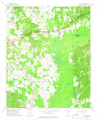
1965 · Kirkville
USGS Topo · 1:24,000
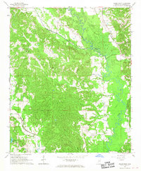
1966 · Beans Ferry
USGS Topo · 1:24,000
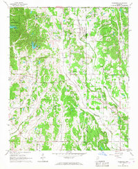
1966 · Evergreen
USGS Topo · 1:24,000
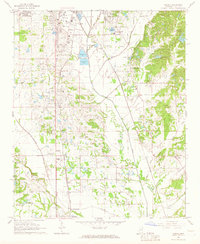
1966 · Verona
USGS Topo · 1:24,000
1973 · Guntown
USGS Topo · 1:24,000